
Super El Niño Takes Shape, Bringing Drought, Rain and Heat Across the World
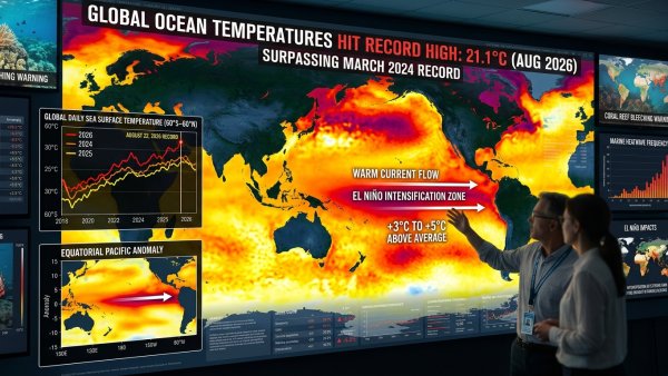
A powerful El Niño is developing in the Pacific Ocean and could become one of the strongest events on record, raising concerns about major shifts in rainfall, drought and temperatures during late 2026 and into 2027.
El Niño occurs when unusually warm ocean waters develop across the central and eastern tropical Pacific, disrupting atmospheric circulation and influencing weather patterns far beyond the region.
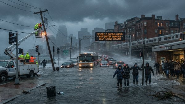
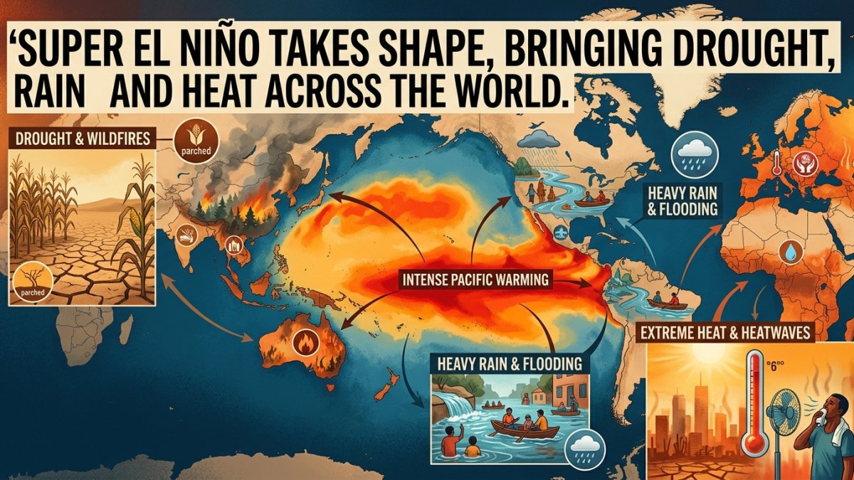
The effects are expected to vary widely. East Africa, parts of South America and the southern United States typically receive heavier rainfall during strong El Niño events, increasing the risk of flooding in some areas.
In contrast, South Asia, Southeast Asia, Australia and southern Africa commonly experience drier conditions. This can increase drought risks, threaten water supplies and put pressure on agriculture and food production.
Temperatures are also expected to rise across many parts of the world. Scientists warn that the combination of a strong El Niño and an already warming climate could intensify heat extremes and amplify the effects of droughts and floods.
US forecasters recently estimated more than a 90 percent chance of a very strong El Niño during the Northern Hemisphere's autumn and winter, while giving a 75 percent chance that the October-December event could reach historic strength.
The exact effects will depend on regional weather patterns and the eventual strength and duration of the event. Governments and aid agencies are already preparing for possible disruptions to agriculture, water supplies and disaster response.