

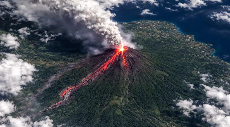
A striking satellite image has captured the eruption of the Philippines’ Mayon Volcano, offering a rare view of the active volcano from space.
The image, taken by NASA’s Landsat 8 satellite, shows bright red lava flowing from the volcano’s crater, contrasting sharply with the surrounding green landscape of Luzon Island. The satellite used both visible and near-infrared light to highlight the lava, ash and volcanic gases rising from the mountain.
Mayon, located in the Albay province, is the most active volcano in the Philippines and stands more than 2,400 meters (8,000 feet) tall. It began erupting again in January 2026, sending lava flows and pyroclastic material down its slopes. The ongoing activity has forced hundreds of residents in nearby communities to evacuate as authorities monitor the situation closely. Scientists say satellite imagery plays an important role in monitoring eruptions, helping researchers track volcanic activity and assess potential hazards to nearby populations.