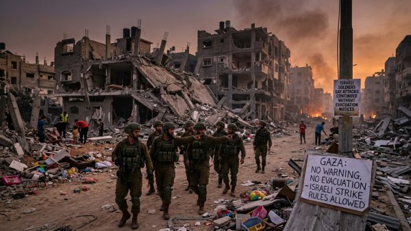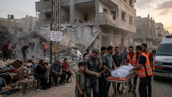
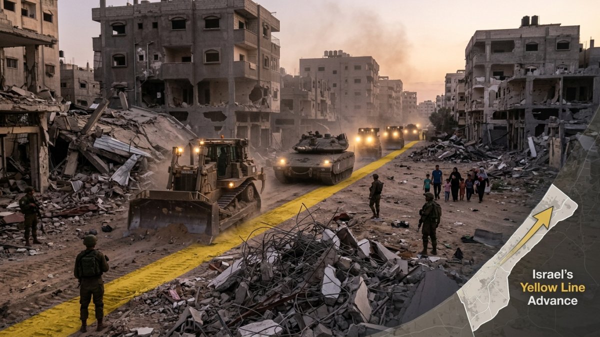
Israel’s “Yellow Line” in Gaza, created under the October 2025 ceasefire, separates areas under Israeli military control from the rest of the territory. Its position has reportedly moved farther into Gaza, renewing concern that the boundary is steadily reducing the space Palestinians can safely access.
A line that has shifted
The Yellow Line was meant to mark the positions to which Israeli forces withdrew during the ceasefire’s first phase. It has not remained a fixed marker on the ground. Satellite imagery and physical barriers documented during 2026 showed the zone of Israeli control extending beyond its initial footprint.
By June, the UN humanitarian office estimated that restricted-access areas associated with the line covered about 64.9 percent of Gaza, up from roughly 53 percent earlier in the year. The estimate underlines how little of the enclave remains freely accessible to residents.
Impact on daily life
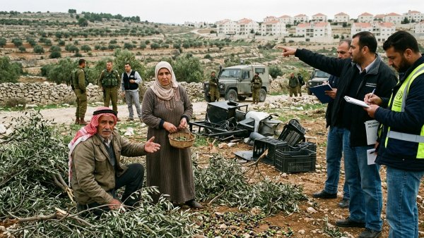
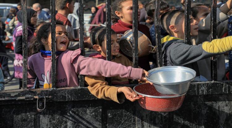
As the line shifts, families may find homes, farmland, roads and essential services suddenly harder or impossible to reach. Unclear or changing markers can also put civilians at risk if they approach areas Israeli forces consider restricted.
The movement of the line raises wider questions about the ceasefire’s boundaries and Israel’s continued control over Gaza. The agreement anticipated further Israeli withdrawal, but progress has stalled, leaving the line’s status and the territory available to Palestinians uncertain.